Farnum Hill Reserve
By: Jennifer Hansen
New Column: Hit the trail! Each month, Jennifer Hansen will profile one local or one not-so-local trail run. If you have a run you want her to profile, please send her a note at jennifer.carol.hansen@gmail.com
Trail surface:
Mostly pine needles, some prominent rocks and roots
Percentage runnable:
100%
Elevation change:
lots — a few steep sections; much of it is more gentle
Distances:
officially 7 miles of trail; 1 extra mile available via unmarked trails
Finding your way around:
Well-marked trails in the system; a couple of well-trodden "herd-path" trails can add more distance
Parking:
5 trailheads provide easy access to the trails as well as at least ten different possible routes, for variety.
Website/Map:
https://lebanonnh.gov/Facilities/Facility/Details/Farnum-Hill-Reserve-26
Other users:
Mostly walkers, some with dogs. Lightly used.
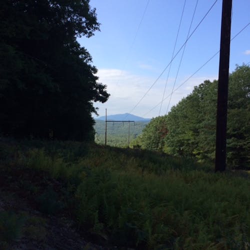
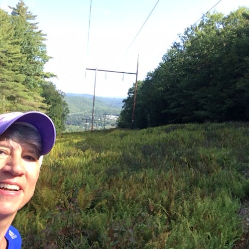
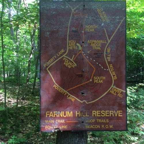
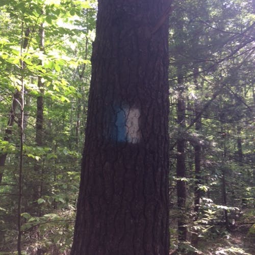
The Aspinwall Ridge Trail provides a lot of varied terrain with gradual and steeper hills and visual interest and is an excellent trail system for those newer to trail running. There are several viewpoints, most noticeably going under the power line where you can see Ascutney looking southwest and downtown Lebanon looking northeast. There are several wooden map kiosks at trailheads and important junctions, and trails are well-marked with blue-and-white blazes.
Out-and-back along the Ridge Trail is a great route for starters, and then check out the side trails to create loops or add more out-and-back distance - Ron Bailey, Robert Leavitt, Old King's Highway, Foliage View, and Slayton Hill. Two additional loops are possible via unmarked trails:
- Take the grassy, orchard access road uphill from the intersection of the Class VI "Old King's Highway" with the top Farnum Hill Rd. Just before you reach the orchard, turn right and follow the well-worn trail as it goes steeply uphill to its intersection with the Ridge Trail.
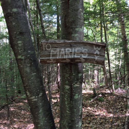
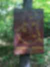
- Near the Marie's Way parking area, on the trail spur called "Slayton Hill," there is a hand painted sign for Marie's Way (photo). If you turn the back to the sign, you can see and easily follow another well-worn trail as it goes steeply uphill to its intersection with the Ridge Trail , less than 0.1 mi south of the northern intersection of the Ridge Trail and the Robert Leavitt Trail.