Lyme Road/River Road
By: Laura Petto
Route Name: Lyme Road/River Road
Strava Link: here
Route Distance: Variable – up to 14 miles
Elevation: low - 10 miles out and back has ~350, 14 has ~500
Terrain Type: mostly paved, short dirt at the end of River Road.
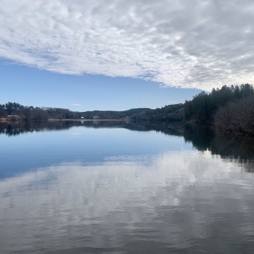
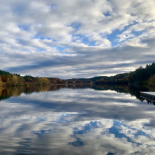
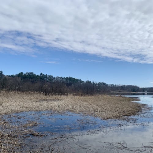
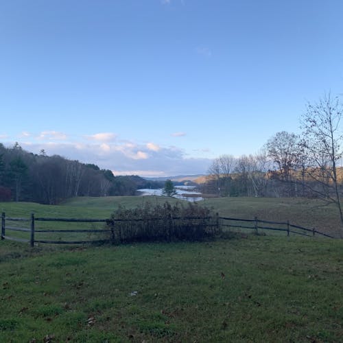
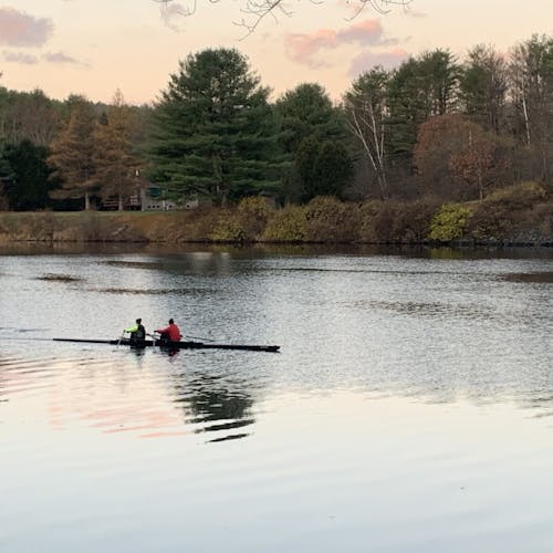
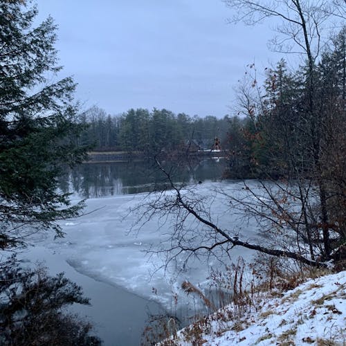
Description: To be honest, I don’t run this much. If I’m by the river, I’d much rather be rowing on it. But, I think I’m the only dual UVRC and UVRF member, and unfortunately, the river freezes over, so this is nice for some flats in the winter. It’s almost as flat as it gets up here for a long run, which is nice. None of the hills have a high elevation grade, either. I spend most of my time watching the river, which we are so lucky to live nearby. The traffic on Lyme often gets to be a little much right before River Rd, so keep an eye out. There’s often a bald eagle that nests in a pine tree on the river maybe 200 ft after Wilson’s landing, so keep an eye out for that. In the winter, these roads are well maintained (until the dirt part of River Road) and give a particularly beautiful view of the frozen river. The conservation land at the end of River Road is very serene. A nice run to give the legs a break from the hills of Norwich.
Parking: Kendal or Wilson’s landing
Variations: vary the turning point or parking spot
