Hit the Trail
By: Jennifer Hansen
Route: Lower and Upper Ballard/Lower Blue Ribbon/Brookmead/Parcel 5 in Norwich Trails
Percentage Runnable: 100%
Distance: about 8 mi.
Elevation change: moderate ups and downs
Parking: Lower Ballard Lot, Beaver Meadow Rd just before intersection w Brigham Hill Rd. (and several others)
Norwich Trails Website
Perhaps I'm the only trail runner in the Upper Valley who doesn't already know the Norwich trails. If you don't know them either, you have some good runs in store! I had been on a couple of the trails for two shorter trips with knowledgeable friends, and in late November I decided to give them a try on my own, wearing plenty of blaze orange, and with a headlamp along just in case. The trails are well-mapped. For the most part, they are also well-signed, well-maintained and blazed, although some segments are a little less clear. As in the Boston Lot, the other large trail system in our area, I would recommend starting with a well-signed area, perhaps trying out-and-back routes at first, and then branching out as familiarity grows. There are several places to park, in order to mix up your routes. And there are miles and miles of trail!
For my run, I tried out the Ballard-Blue Ribbon loop listed on the webpage, and tagged on Lower Ballard up and Beaver Meadow Rd coming back, as it was growing dark, for a total of 8 or so miles. I found the Parcel 5 finish to be less easy to follow. Next time, I might park at the Parcel 5 parking on Beaver Meadow Rd, and try the trip the other way. The Ballard trails on the south/west side of Beaver Meadow Rd are for foot travel only, and the Blue Ribbon/Brookmead trails on the north/east side are also for bikes. Since it was a quiet and dark November afternoon, I was the only one out there; on a busy day, I would keep my eyes open for walkers, dogs and bikes.
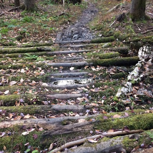
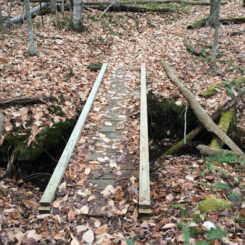
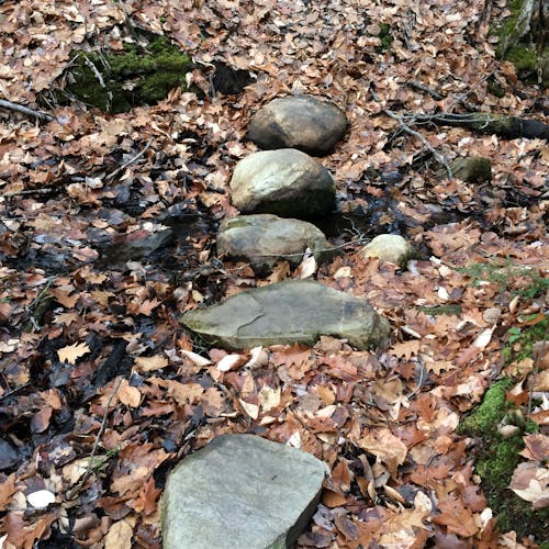
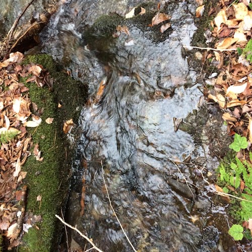
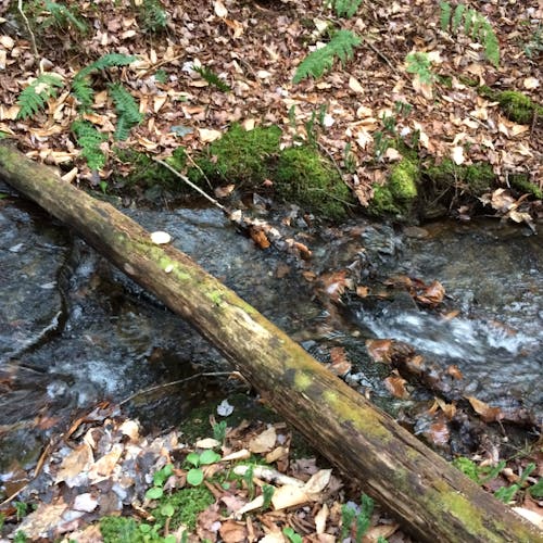
This month's column includes a quiz. These trails cross water frequently, and there many well-maintained methods of getting over with dry feet. Which one of these [photos] would I NOT choose as a safe way to cross a brook or wet area?
With thanks to all the volunteers who have helped make these trails safe and navigable, see you next month!
