Fairlee Town Forest
By: Jennifer Hansen
Route
Fairlee Town Forest, Fairlee VT
Percentage runnable
75-100%
Elevation change
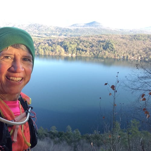
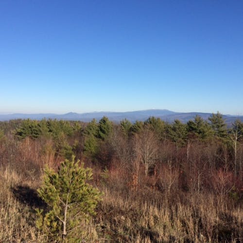
The system contains three high points, the highest being Bald Top (1776'—first photo). Eagle's Bluff is another nice viewpoint. (second photo). Wood roads are gentle; trails have some easy inclines and some steeper sections.
Distances
Variable - I did a nice 6.6 out-and-back from Lake Morey to Bald Top one afternoon, and a comfortable 3.8 out-and-back from Blood Brook Road to Bald Top one morning. You can put together longer loops combining dirt roads and forest trails.
Ease of Navigation
Well-blazed and signed trails throughout.
Parking areas are well-noted on the maps, and are easy to find on the ground
Other users
Many hikers, some dogs, X-C skiers
Lake Morey may lie under ice right now, but the Fairlee town forest is open for business. It contains several miles of very runnable hiking trails. Try them out in winter or make a note to visit there later this year.
I used the Cross-Rivendell Trail map and the Fairlee town forest map to plan a couple of routes. The CRT map gives mileages on the CRT, but not the other trails, and you can cross-reference with the Fairlee map and estimate to get some non-CRT routes. I'm looking forward to trying some more routes in the future.


